
SIMPLE
Principal waterfowl flyways, Fall migration Item Info
- Title:
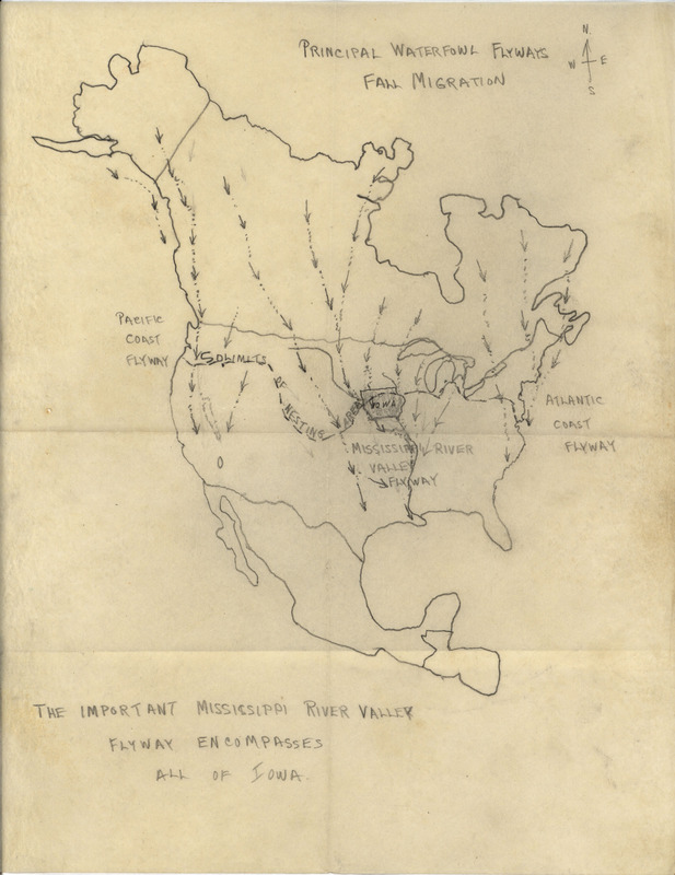
- Principal waterfowl flyways, Fall migration
- Description:
- Undated map. A hand-drawn map of North America shows fall bird migration pathways, and notes that the Mississippi River Valley flyway encompasses all of Iowa.
- Subject (Topic):
- Birds--Migration Flyways
- Location:
- Iowa North America
- Latitude:
- 42.00027; 46.07323
- Longitude:
- -93.50049; -100.54688
- Language:
- eng
- Source:
- Philip A. DuMont papers
- Call Number:
- MS 153
- Finding Aid Permalink:
- https://n2t.net/ark:/87292/w9sr1d
- Contributing Institution:
- Iowa State University. Special Collections and University Archives
- Publisher:
- Iowa State University. Library
- Extent:
- 1 page
- Genre:
- maps (documents)
- Type:
- Image
- Format:
- image/jpeg
- Digital Collection Title:
- Philip A. DuMont collection
- Digital Collection Permalink:
- https://n2t.net/ark:/87292/w97w6754s
- Related Resource:
- Avian Archives of Iowa Online (avIAn)
- Avian Identifier:
- 4309
- Identifier:
- dumont1794
- Filename:
- ms0153b011f006i0001.jpg
- Item Permalink:
- https://n2t.net/ark:/87292/w9n58cr1v
Source
- Preferred Citation:
- "Principal waterfowl flyways, Fall migration", Philip A. DuMont Collection, Iowa State University Library Digital Collections
- Reference Link:
- https://n2t.net/ark:/87292/w9n58cr1v
Rights
- Rights:
- This item is protected by U.S. copyright and related rights. It is being made available by Iowa State University as its rights-holder for noncommercial use, including sharing and adapting the work. No permission is required for noncommercial use so long as attribution is provided. All other uses require permission from Special Collections and University Archives.